CGWA Ground Water NOC &
Hydrogeological Consultant
NRSM delivers accredited technical consultancy for CGWA & SGWA Ground Water NOCs via the BhuNeer portal. We prepare Impact Assessment Reports (IAR), Comprehensive Hydrogeological Reports (CHR), Groundwater Numerical Modeling, Water Audit Reports, and Rainwater Harvesting (RWH) master plans, along with full turnkey digital telemetry setup with DWLR and DWFM.
Scientific site characterization, aquifer geometry evaluation, numerical simulations & draw-down impact analysis.
Industrial water balance audits and engineering designs for recharge shafts, trenches, and artificial recharge structures.
End-to-end management of online applications, renewals, expansions, and compliance tracking.
Supply, installation, calibration, and live server integration with CGWA/SGWA portals.
EXCELLENCE
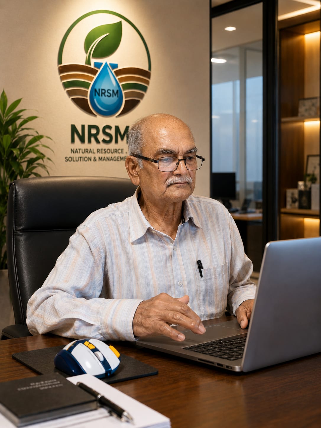
D. K. Nayak (S.P.R.)
A recognized authority in Indian hydrogeology. Having joined the state Ground Water Department in 1981, Mr. Nayak has spearheaded regional groundwater exploration, strata interpretation, and electrical geophysical investigations across diverse districts of Rajasthan.
His specialized expertise centers on solving complex groundwater shortages in arid, barren, and hard-rock formations where conventional prospecting fails. By combining extensive field-calibrated instruments with decades of empirical observation, he provides NRSM with reliable, accurate, and scientifically defensible subsurface evaluations.
Proven identification of sustainable deep aquifer corridors in hyper-arid, yield-deficient terrains.
Specialized Vertical Electrical Soundings (VES) and apparent resistivity data interpretation.
Extensive lithological and structural mapping across all primary geological basins of Rajasthan.
Subsurface fault and fracture pin-pointing to maximize sustained yield and eliminate dry borewells.

Geospatial Mastery
Tribhuvan Nain
Bridging the critical divide between field structural geology and cutting-edge geospatial intelligence, Tribhuvan Nain brings over 8 years of specialized expertise in satellite remote sensing, predictive aquifer simulation, and audit-proof CGWA technical reporting. Backed by research training at ISRO's Regional Remote Sensing Centre-West and advanced groundwater flow modeling credentials from NIH Roorkee, he executes high-resolution hydrological modeling and multi-layered GIS spatial workflows that safeguard corporate compliance while optimizing water assets.
High-resolution optical/SAR processing, temporal change detection, geomorphological mapping, and Google Earth Engine automated spatial workflows.
Calibrated 3D groundwater simulations, finite-difference flow budgets, and lithological modeling utilizing Visual MODFLOW Flex, GMS, and RockWorks.
Empirical Bayesian Kriging (EBK), hydrological watershed delineation, Python automation pipelines, and machine learning feature extraction across Enterprise GIS.
Lead architect of Comprehensive Hydrogeological Reports (CHR) and Impact Assessments (IAR) clearing regulatory scrutiny across cement, mining, distillery, and infrastructure sectors.
Groundwater Expertise.
Regulatory Confidence.
NRSM is a premier groundwater engineering consultancy delivering scientific hydrogeological investigations, CGWA/SGWA statutory approvals, numerical aquifer modeling, and advanced subsurface geophysics across India.
EXCELLENCE
D. K. Nayak (S.P.R.)
Retd. Geophysicist, Ground Water Dept. JODHPURA recognized authority in Indian hydrogeology. Having joined the state Ground Water Department in 1981, Mr. Nayak has spearheaded regional groundwater exploration, strata interpretation, and electrical geophysical investigations across diverse districts of Rajasthan.
His specialized expertise centers on solving complex groundwater shortages in arid, barren, and hard-rock formations where conventional prospecting fails. By combining extensive field-calibrated instruments with decades of empirical observation, he provides NRSM with reliable, accurate, and scientifically defensible subsurface evaluations.
Proven identification of sustainable deep aquifer corridors in hyper-arid, yield-deficient terrains.
Specialized Vertical Electrical Soundings (VES) and apparent resistivity data interpretation.
Extensive lithological and structural mapping across all primary geological basins of Rajasthan.
Subsurface fault and fracture pin-pointing to maximize sustained yield and eliminate dry borewells.
Scientific Groundwater Management for Responsible Development.
Natural Resource Solution & Management (NRSM) is a dedicated consultancy organization offering end-to-end statutory and technical support for industries, infrastructure complexes, and mining leases requiring formal groundwater permissions.
We bridge the gap between complex regulatory mandates (CGWA/SGWA) and practical on-ground engineering. By uniting multi-decade hydrogeological field data with numerical groundwater flow modeling, we deliver regulatory compliance that stands up to statutory audits.
Principles Behind Our Practice
Every calculation, survey interpretation, and regulatory submission follows three fundamental principles.
Accuracy
Rigorous hydrogeological calculations, verified pumping test evaluations, and calibrated numerical simulations.
TECHNICAL INTEGRITYTransparency
Clear, direct feasibility advisory with zero ambiguous regulatory assurances or hidden compliance hazards.
STRAIGHTFORWARD COUNSELCompliance
100% adherence to Central and State groundwater guidelines, preventing environmental compensation penalties and closures.
STATUTORY CERTAINTYFrom Groundwater Data to Regulatory Confidence.
Our systematic sequence ensures complete project defensibility from initial hydrological baseline assessment through final NOC issuance.
Understand & Categorize
Evaluate site coordinates against CGWA block assessment classifications (Safe, Semi-Critical, Critical, Over-Exploited).
Assess & Investigate
Execute baseline hydrogeological surveys, pumping tests, geophysical VES runs, and water quality sampling.
Develop & Model
Draft Comprehensive Hydrogeological Reports (CHR), Impact Assessments (IAR), and numerical modeling predictions.
Liaison & Maintain
Manage portal submissions, statutory queries, telemetry compliance, and post-approval monitoring conditions.